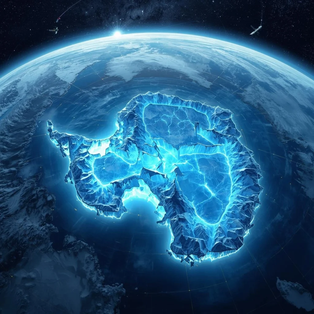
A groundbreaking Antarctic map has revealed a vast Antarctica hidden channel stretching nearly 400 kilometers beneath the ice, offering scientists an unprecedented view into how the frozen continent may drive future sea-level rise. This discovery marks a major leap forward in climate science, transforming how researchers understand glacier movement and melting patterns across Antarctica.
The findings, reported by the BBC, come from the most detailed sub-ice terrain map ever produced. Scientists say the new data could significantly improve predictions about how fast Antarctica’s ice sheet may respond to global warming, a question that directly affects coastal cities worldwide.
From Blurred Images to High-Definition Antarctica
For decades, Antarctica’s bedrock remained largely mysterious. Traditional ice-penetrating radar surveys only sampled narrow lines across the continent, leaving huge gaps between measurements. The result was a rough, incomplete picture of what lies beneath ice sheets that can reach up to 4.8 kilometers thick.
That has now changed.
Researchers from Université Grenoble Alpes combined satellite observations of the ice surface with advanced models of glacier flow physics. By analyzing subtle changes in ice speed and surface shape, they were able to infer the terrain hidden below with remarkable accuracy.
Dr. Helen Ockenden, one of the lead scientists, compared the leap in clarity to moving from a pixelated image to digital zoom. Small surface ripples in the ice reveal buried hills, ridges, and valleys beneath, allowing scientists to “see” the bedrock without drilling through kilometers of ice.
The Antarctica Hidden Channel That Changes Everything
The most striking discovery is a massive subglacial channel within the Maud Subglacial Basin. This newly mapped feature is:
- Around 400 km long
- Up to 6 km wide
- Approximately 50 meters deep
To put it into perspective, the channel stretches roughly the distance from London to Newcastle. Until now, this vast structure was completely unknown.
Why does it matter? Because subglacial channels act like highways for ice flow. They can funnel ice toward the ocean more efficiently, accelerating glacier movement and increasing ice loss into the sea.
This means the Antarctica hidden channel could play a major role in how quickly certain regions of the ice sheet destabilize as temperatures rise.
Why Better Maps Mean Better Sea-Level Predictions
Antarctica holds enough frozen water to raise global sea levels by several meters. Even small improvements in predicting melt rates can have enormous implications for coastal planning and climate policy.
Professor Robert Bingham from the University of Edinburgh called the continent-wide view of Antarctica’s bedrock “amazing,” noting that it rivals the detail of land surveys in mountainous regions like the Scottish Highlands.
Meanwhile, Dr. Peter Fretwell from the British Antarctic Survey emphasized that the new map bridges critical gaps left by earlier radar surveys. With a more accurate understanding of the terrain beneath the ice, climate models can now simulate glacier behavior with far greater confidence.
How Sub-Ice Terrain Controls Glacier Movement
Glaciers do not simply slide evenly toward the sea. Their speed depends heavily on what lies beneath them.
Hidden mountains slow ice down. Deep basins and channels allow it to surge forward. The newly mapped hills, ridges, and valleys across Antarctica reveal tens of thousands of previously unknown features that directly influence ice flow.
By incorporating this data, scientists can now better estimate which regions are most vulnerable to rapid melting and which may remain relatively stable.
A Critical Step for Climate Science
Antarctica remains the biggest wildcard in global sea-level forecasts. While Arctic ice loss is already well observed, Antarctica’s response to warming has been far harder to predict.
This new map does not provide all the answers, but it dramatically narrows the uncertainty.
As warming oceans interact with ice shelves and subglacial landscapes like this Antarctica hidden channel, scientists are now better equipped to model future scenarios and advise policymakers on long-term risks.
For more details & sources visit: BBC
Read more on Antarctica news: 360 News Orbit – Antarctica