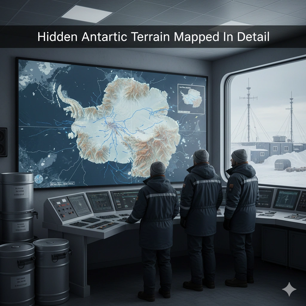
A groundbreaking study has produced a new Antarctica bed map, uncovering a vast, previously hidden landscape beneath the ice. The continent-scale map reveals mountains, valleys, plains, and tens of thousands of previously uncharted hills, providing crucial insight into how the subglacial terrain shapes ice flow and impacts global sea level rise predictions.
By combining high-resolution satellite data with advanced Ice Flow Perturbation Analysis (IFPA), researchers can now infer the shape of the bed where direct ice-penetrating radar is limited. This breakthrough offers scientists a detailed view of the continent’s subglacial topography, improving our understanding of Antarctica’s role in climate change.
How the New Antarctica Bed Map Was Created
The new Antarctica bed map was developed using a combination of satellite observations and IFPA. The technique works by measuring subtle changes in ice-surface elevation and velocity, then using those patterns to infer the shape and features of the bedrock below.
Key aspects of this approach include:
- Fills gaps in areas where radar coverage is limited
- Detects mesoscale landforms, such as hills and ridges at kilometre-scale
- Provides data to improve ice flow modeling for climate predictions
By integrating multiple datasets, the research team achieved an unprecedented level of detail across the continent, revealing features that were previously unknown or underestimated.
A Complex Landscape Beneath the Ice
Prior to this study, scientists often assumed Antarctica’s base was relatively flat, but the new Antarctica bed map shows a far more complex subglacial landscape. BBC News reports that the continent hides:
- Thousands of hills and ridges
- Deep valleys and plains
- Terrain features that influence friction between ice and bedrock
These structures are not just geological curiosities—they directly affect the speed at which glaciers move toward the ocean. Areas with more friction slow ice flow, while smoother regions allow faster glacial movement, influencing how quickly ice sheets contribute to sea level rise.
Implications for Climate Change and Sea Level Rise
One of the most critical applications of the Antarctica bed map is improving projections of future sea level rise. Better knowledge of the bedrock beneath glaciers allows scientists to:
- Enhance computer models that predict ice sheet dynamics
- Reduce uncertainty in climate simulations
- Anticipate which regions are most vulnerable to rapid ice loss
Researchers emphasize that ice movement depends on both climate conditions and underlying terrain. By accounting for newly discovered features, models can more accurately estimate the contribution of Antarctica to global sea levels in the coming decades.
Why This Research Matters
The new map represents a major step forward in subglacial mapping, although scientists caution it is not yet the final word on Antarctica’s bedrock. The study:
- Expands understanding of a continent that is still largely unexplored
- Provides physics-informed data for glaciologists
- Supports global efforts to model and mitigate the impact of climate change
In the context of rising global temperatures and melting polar ice, these insights are vital for policymakers, coastal planners, and climate scientists alike.
Future Directions for Antarctic Research
The Antarctica bed map opens new opportunities for exploration and monitoring:
- Improved ice-sheet models: Incorporating subglacial terrain into simulations will refine predictions of ice loss rates.
- Targeted field studies: Identifying key areas where ice is most unstable for on-site measurements.
- Climate adaptation planning: Informing infrastructure and sea-level risk mitigation strategies worldwide.
As satellite technology advances and radar coverage expands, future maps will provide even higher-resolution data, further enhancing our understanding of the frozen continent.
Conclusion
The new Antarctica bed map uncovers a hidden world beneath the ice, revealing complex terrain that shapes ice flow and affects global sea level rise predictions. This work not only advances climate science but also enhances models used to understand the planet’s future. As researchers continue to refine subglacial maps, these insights will be crucial for preparing for the impacts of climate change and protecting vulnerable coastal communities.
For more details & sources visit: Science (journal)
Read more on Antarctica news: 360 News Orbit – Antarctica